
Uttarakhand
THALAY SAGAR
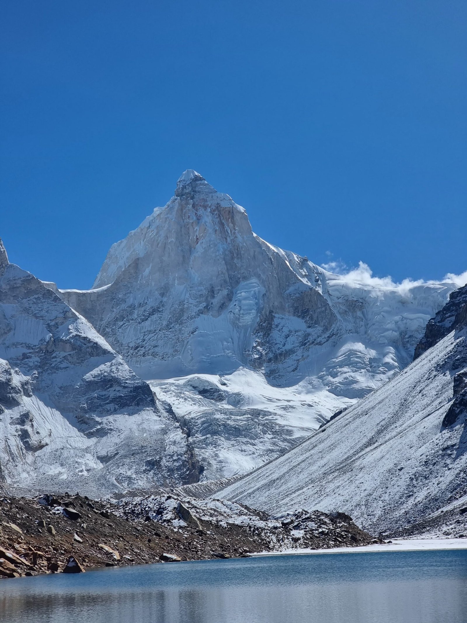
Thalay Sagar is a prominent mountain located in the Gangotri Group of peaks in the western Garhwal Himalayas, situated in the Indian state of Uttarakhand. It holds a significant place in the region’s geography, as well as in the world of mountaineering. Here are more details about Thalay Sagar:
1. **Geographical Location**: Thalay Sagar is positioned on the main ridge that lies to the south of the Gangotri Glacier. The mountain is situated about 10 kilometers (6 miles) southwest of Gaumukh, which is a revered Hindu pilgrimage site and the origin of the Bhagirathi River, one of the main tributaries of the Ganges River.
2. **Elevation**: Thalay Sagar has an elevation of approximately 6,904 meters (22,651 feet) above sea level. While it is not the highest peak in the Gangotri Group, its striking appearance and challenging nature make it a sought-after destination for mountaineers.
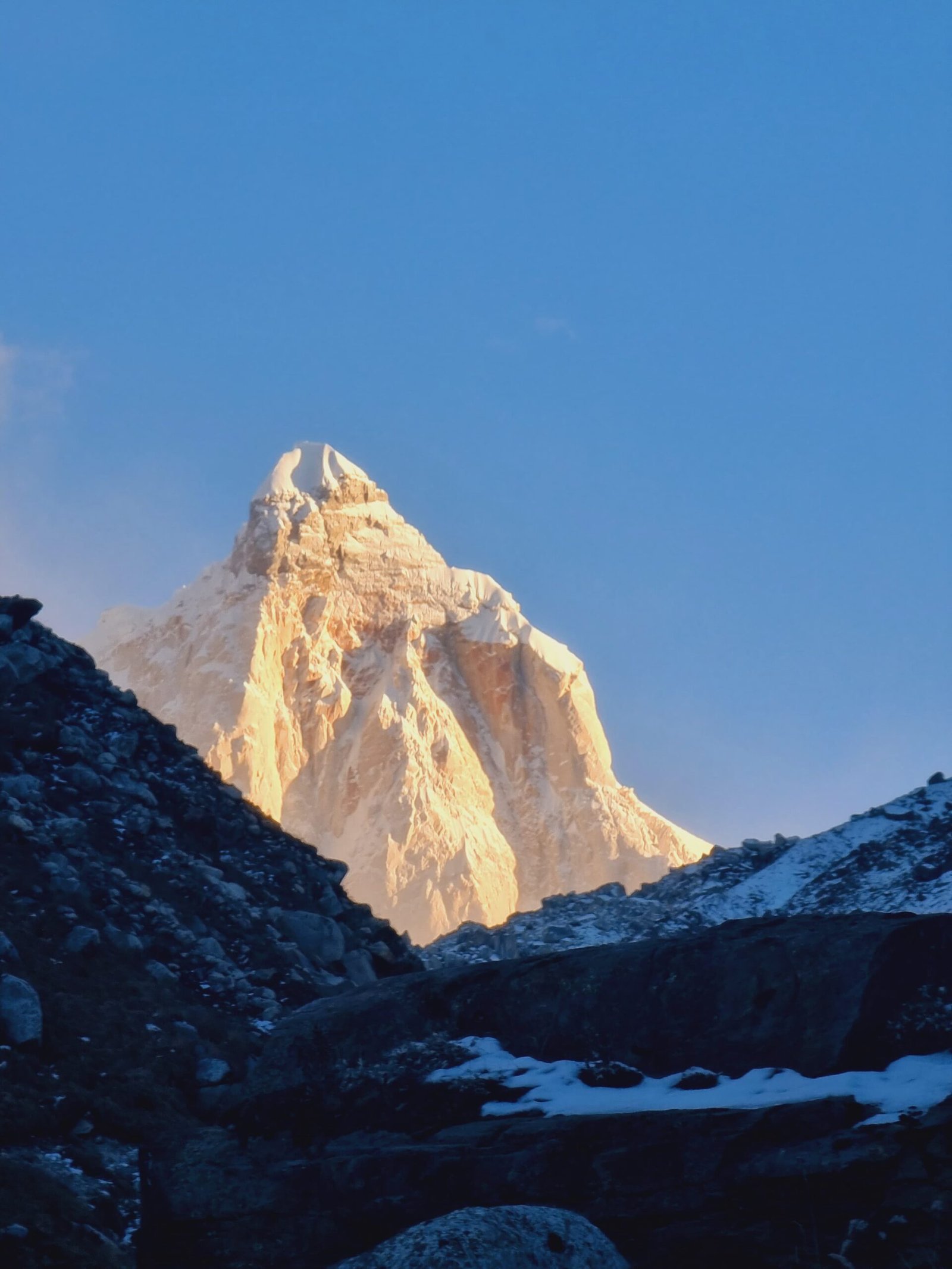
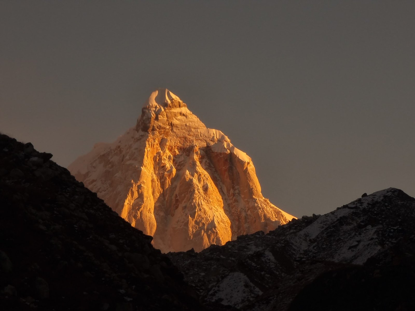
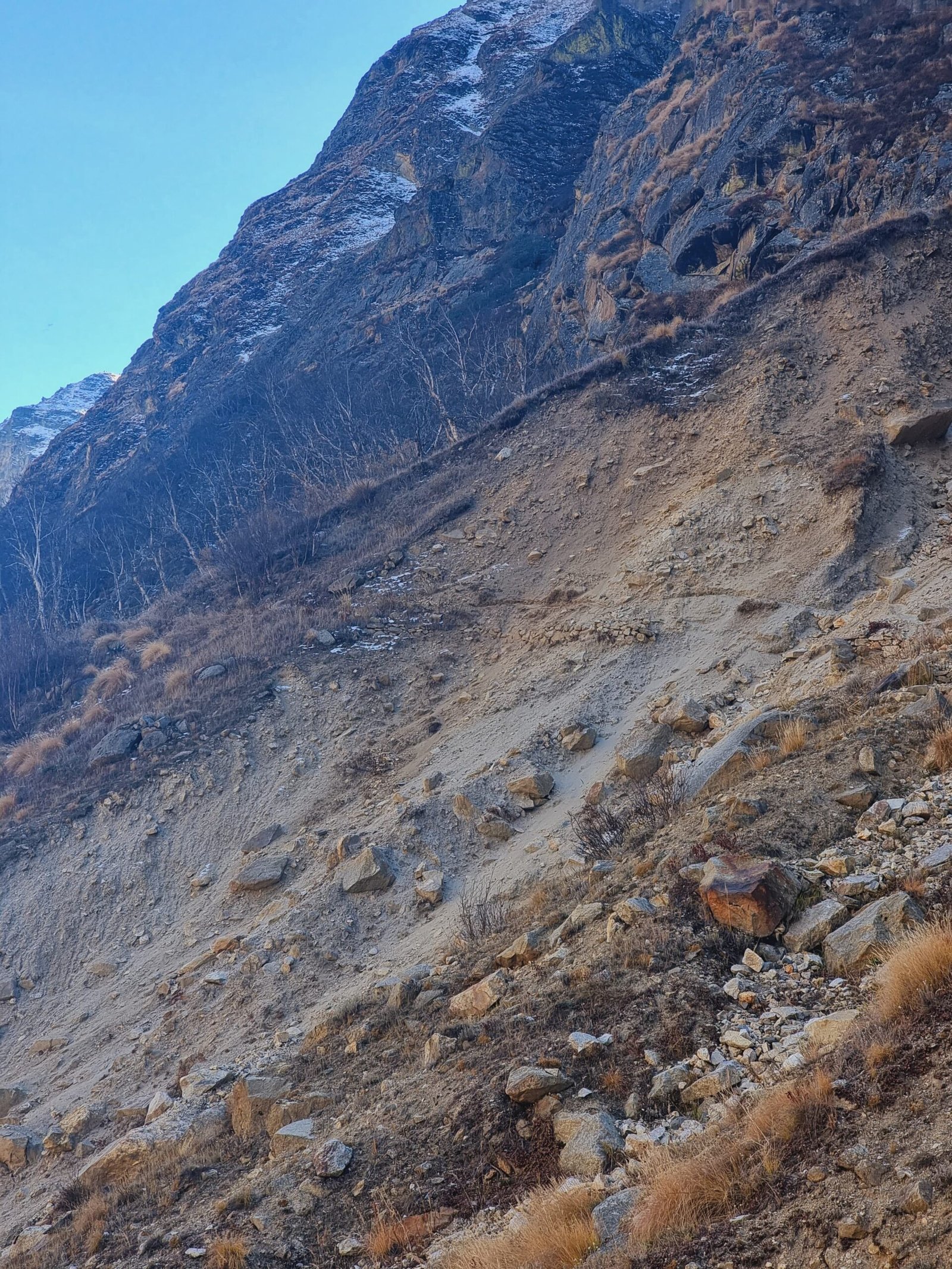
3. **Characteristics**: Thalay Sagar is renowned for its dramatic rock formations and steep slopes on all sides. Its distinctive shape and challenging ascent routes have earned it a reputation as a formidable peak in the Himalayas.
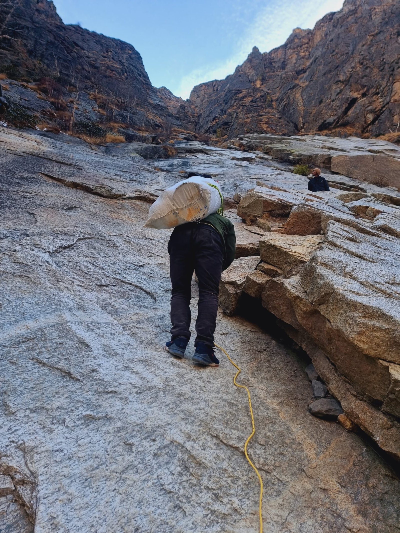
4. **Mountaineering**: Thalay Sagar is considered a coveted prize for mountaineers due to its technical difficulty and demanding climbing conditions. The mountain’s steep and complex terrain, coupled with unpredictable weather conditions, pose significant challenges to climbers. As a result, successful ascents of Thalay Sagar are considered remarkable achievements in the mountaineering community.
5. **Neighboring Peaks**: Thalay Sagar is situated adjacent to the Jogin Group of peaks, which adds to the stunning panoramic views of the surrounding area. The Jogin peaks, along with Thalay Sagar, contribute to the picturesque landscape of the Gangotri region.
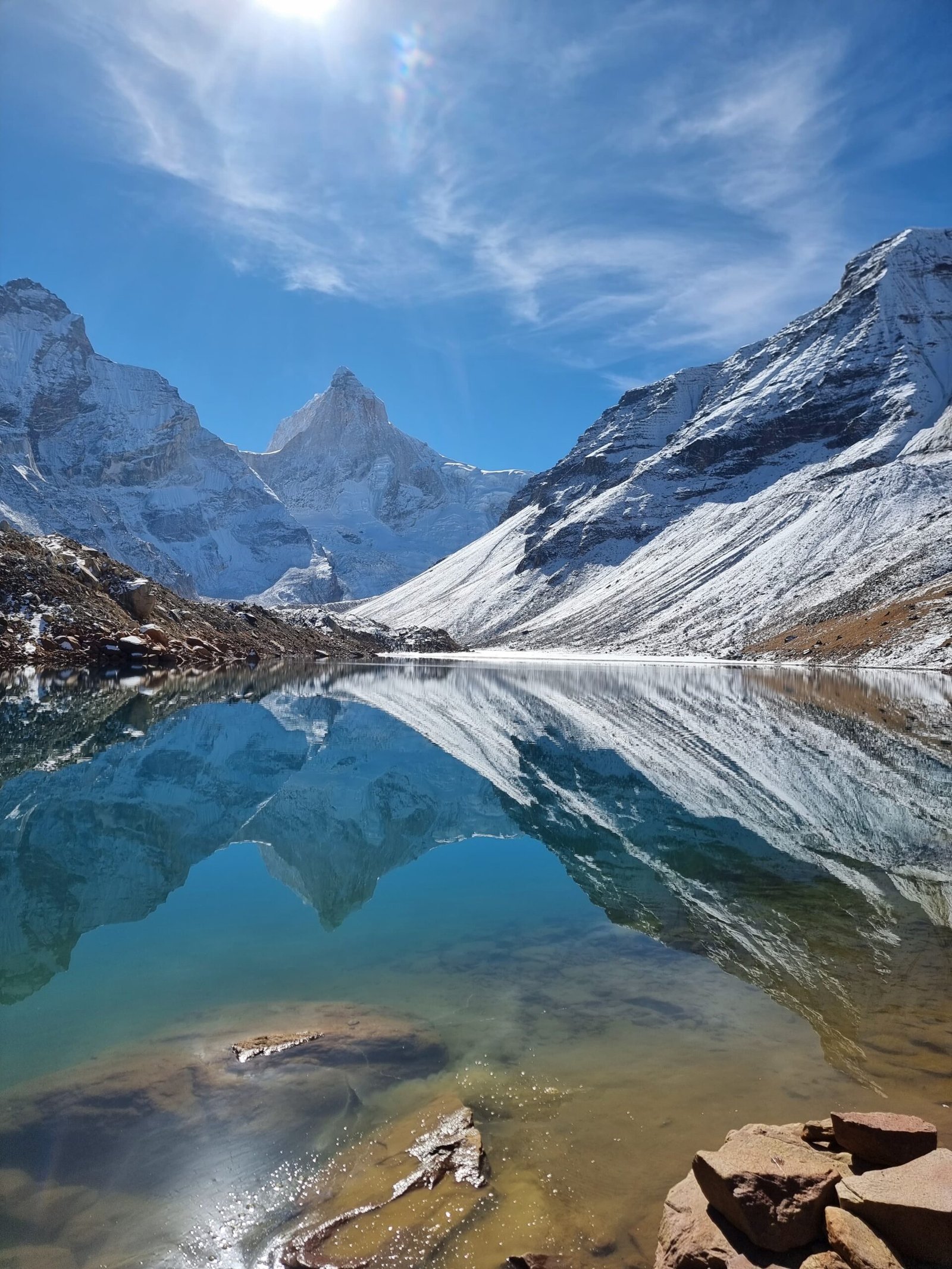
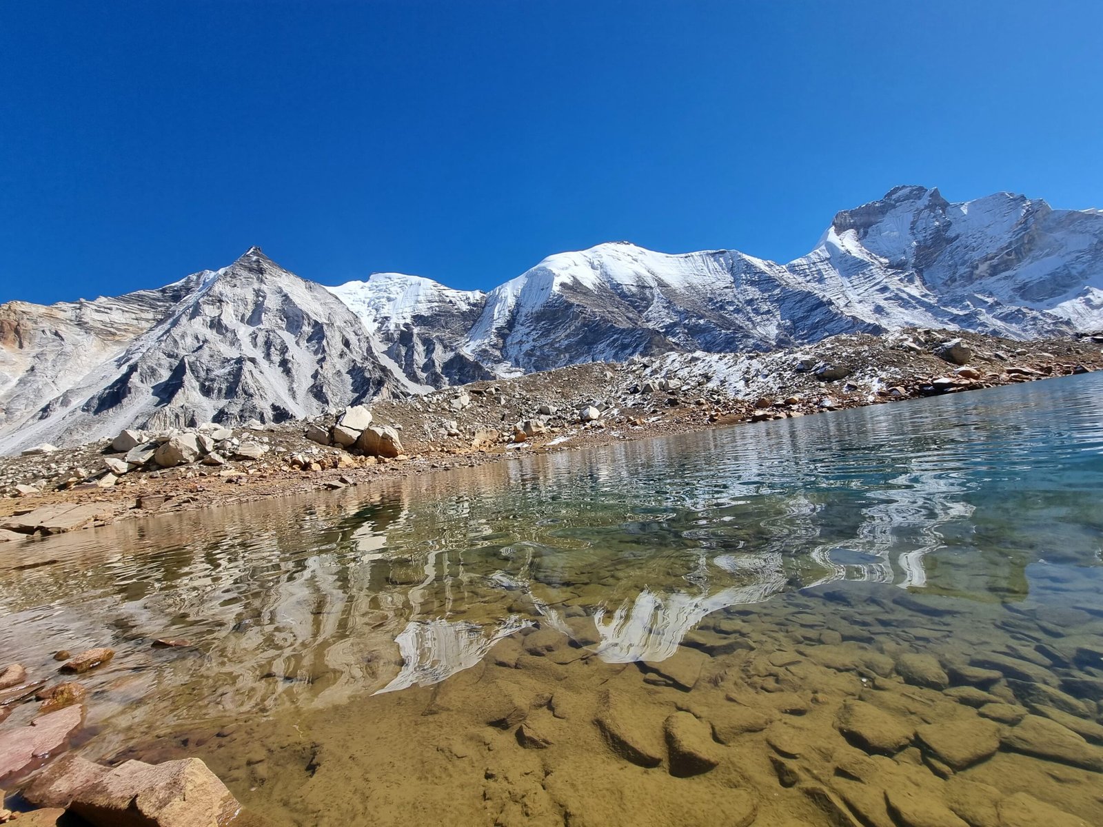
6. **Kedartal Lake**: At the base of Thalay Sagar lies Kedartal, a glacial lake known for its pristine beauty. The lake is surrounded by rocky terrain and offers breathtaking reflections of the surrounding peaks, including Thalay Sagar. The trek to Kedartal and the lake’s serene ambiance make it a popular trekking destination.
7. **Climbing History**: The history of climbing attempts on Thalay Sagar dates back to the mid-20th century. Mountaineers from various parts of the world have attempted to conquer the summit, with varying degrees of success. The mountain’s technical challenges, combined with its remote location, contribute to the allure and mystique surrounding it.
8. **Remote Location**: Thalay Sagar’s location in the Himalayas, coupled with its challenging terrain, makes reaching the mountain’s base camp and embarking on a climbing expedition a significant logistical undertaking. The journey involves traversing rugged trails, navigating high altitudes, and preparing for adverse weather conditions.
In summary, Thalay Sagar stands as a symbol of both natural beauty and mountaineering prowess. Its distinctive rock formations, steep slopes, and rich history of climbing attempts make it an alluring destination for experienced mountaineers seeking to test their skills and conquer a formidable Himalayan peak.
Details
Thalay Sagar is a prominent mountain located in the Gangotri Group of peaks in the western Garhwal Himalayas, situated in the Indian state of Uttarakhand. It holds a significant place in the region's geography, as well as in the world of mountaineering. Here are more details about Thalay Sagar: 1. **Geographical Location**: Thalay Sagar is positioned on the main ridge that lies to the south of the Gangotri Glacier. The mountain is situated about 10 kilometers (6 miles) southwest of Gaumukh, which is a revered Hindu pilgrimage site and the origin of the Bhagirathi River, one of the main tributaries of the Ganges River. 2. **Elevation**: Thalay Sagar has an elevation of approximately 6,904 meters (22,651 feet) above sea level. While it is not the highest peak in the Gangotri Group, its striking appearance and challenging nature make it a sought-after destination for mountaineers. 3. **Characteristics**: Thalay Sagar is renowned for its dramatic rock formations and steep slopes on all sides. Its distinctive shape and challenging ascent routes have earned it a reputation as a formidable peak in the Himalayas. 4. **Mountaineering**: Thalay Sagar is considered a coveted prize for mountaineers due to its technical difficulty and demanding climbing conditions. The mountain's steep and complex terrain, coupled with unpredictable weather conditions, pose significant challenges to climbers. As a result, successful ascents of Thalay Sagar are considered remarkable achievements in the mountaineering community. 5. **Neighboring Peaks**: Thalay Sagar is situated adjacent to the Jogin Group of peaks, which adds to the stunning panoramic views of the surrounding area. The Jogin peaks, along with Thalay Sagar, contribute to the picturesque landscape of the Gangotri region. 6. **Kedartal Lake**: At the base of Thalay Sagar lies Kedartal, a glacial lake known for its pristine beauty. The lake is surrounded by rocky terrain and offers breathtaking reflections of the surrounding peaks, including Thalay Sagar. The trek to Kedartal and the lake's serene ambiance make it a popular trekking destination. 7. **Climbing History**: The history of climbing attempts on Thalay Sagar dates back to the mid-20th century. Mountaineers from various parts of the world have attempted to conquer the summit, with varying degrees of success. The mountain's technical challenges, combined with its remote location, contribute to the allure and mystique surrounding it. 8. **Remote Location**: Thalay Sagar's location in the Himalayas, coupled with its challenging terrain, makes reaching the mountain's base camp and embarking on a climbing expedition a significant logistical undertaking. The journey involves traversing rugged trails, navigating high altitudes, and preparing for adverse weather conditions. In summary, Thalay Sagar stands as a symbol of both natural beauty and mountaineering prowess. Its distinctive rock formations, steep slopes, and rich history of climbing attempts make it an alluring destination for experienced mountaineers seeking to test their skills and conquer a formidable Himalayan peak.
Terms and Conditions
- Carry valid id card i.e. Aadhar Card/Passport/Driving Licence.
- Modification or Amendment is accepted in compliance with the cancellation policy. Any changes in tax must be paid by the guest.
- Any changes in tax must be paid by the guest.
- Hike2Heaven reserves the right to cancel the booking if the balance amount is not paid at the time of arrival.
- Guaranteed bookings are those for which the full and final payments have been received before start of Trek.
- 30% of the payment must be done at the time of booking.
- The remaining 70% of the payment must be cleared before arrival as it is required to arrange stay, food, and other equipment for the trek.
- Full payment must be made in advance to confirm bookings and can be done in Cash/UPI/Bank account only.
- Personal cheques and post-dated cheques are not acceptable.
- Payments can be deposited using bank details, online payment, Gpay, Phonepe, Paytm.
- A scan or fax copy of the bank-stamped deposit Pay-in slip or a screenshot of the transaction is required for online transfers.
Cancellation Policy
| Number of Days prior to Trek | Cancellation Charges applicable |
| 30 Days before | 10% |
| 8-29 Days before | 30% |
| 7 Days before/ No show | No refund |
Note: - Contact us in case of change of dates/trek
Trek Cost Inclusion
- Accommodation: - Stay is included on all days of the trek. In tents/guest house double/triple sharing only. Guesthouse stay will be at base of Trek and on other days you will be staying in tents.
- Meals: - Meals are simple, nutritious, and vegetarian.
Day Meal included Day-1 of base camp arrival Dinner & Breakfast next morning Next Days on Trek Breakfast, Packed lunch & Dinner Final Day at Base camp for Departure Dinner & Breakfast next morning - Non-veg meals are not served.
- Trek Equipment: - All the trek equipment will be included like a sleeping bag, Camping Tent, kitchen tent, utensils, mattress, tent, toilet tent, and crampon (if needed).
- Transportation: - Transportation charges are included if opted for.
- First aid medical kits.
- All the needed forest entry fees along with permits.
- Your trek will be led by a trained, experienced professional guides and trek leaders with a solid guiding background, trekking experience, and a passion for leading people into breathtaking terrains.
Trek Cost Exclusion
- All kinds of personal expenditures are excluded.
- Anything that we have not mentioned above.
- The trek cost is not inclusive of meals bought during the journey on 1st day and last day. (Food starts from dinner at base camp on day first till last day morning breakfast).
- Mules or porter charges to carry private baggage.
- Any kind of emergency evacuation charges.
Packing List
Things you must take on the trek
- DOCUMENTS REQUIRED
- VITAL GEAR KIT
- PERSONAL MEDICAL/HEALTH KIT
1.DOCUMENTS REQUIRED: -
To ensure a smooth and hassle-free trekking experience with Hike2Heaven, make sure you have the following documents ready. These documents are required by both Hike2Heaven and the forest department, and without them, you will not be permitted to trek.
1.Government Photo Identity Card: Carry the original and a photocopy of a government- issued photo identity card. This can include a driver’s license, Aadhar Card, or passport. The forest department requires this for identification purposes.
2. Disclaimer Certificate: The disclaimer certificate consists of two sections:
•Personal Medical Record if anyDuring registration at the base camp, hand it over to your Trek Leader.
Pro Tips:. Safeguard your important documents by placing them in a clear plastic cover and sliding them into the inner pocket at the back of your backpack. This precaution prevents them from getting wet and ensures their safety throughout the trek.
Having these documents in order ensures a smooth check-in process and allows you to focus on the adventure that lies ahead. Trek safely and enjoy your journey with Hike2Heaven!
2. VITAL GEAR KIT: -
Before making any gear purchases, consider inquiring at Hike2Heaven for custom-made, high- quality gear available at just 5% of the buying cost. Rent trekking essentials like shoes, backpacks, padded jackets, trekking poles, rainwear, and headlamps for less than Rs 1400 for the entire duration of your trek.
-
Here's a comprehensive list of everything you need for your trek:
- Trekking shoes with ankle support
- Backpack with rain cover
- Daypack for the summit day (10-15 L)
- 1 woollen sweater
- 1 fleece
- 1 padded jacket
- 1 woollen sweater
- 2 fleeces
- 1 padded jacket
- 1 pair of thermals
- 1 woollen sweater
- 2 fleeces
- 1 padded jacket
- Sunglasses
- Sun cap with flaps
- Waterproof gloves
- Balaclava
- Socks (2 pairs of Dry fit + 1 pair of Woollen)
- Headlamp
- Trekking pole
- Rain jacket + pants / poncho
- Sunscreen
- Moisturiser
- Light towel
- Lip balm or Vaseline
- Toilet paper
- Toothbrush
- Toothpaste
- Reusable plastic covers (for used clothes)
- Steel lunch box, spoon, and mug
- Two water bottles or Hydration Pack **Our top tip: Keep your backpack light. Hike2Heaven promotes low-impact sustainable trekking, and carrying your own backpack reduces your impact on the mountains by 20%. We encourage all trekkers to carry their own backpacks unless they have a justifiable reason not to. Trek responsibly and enjoy your adventure!
1. Shoes and Backpack:
2. Warm Layers and Clothes:
Spring, Summer, and Monsoon Treks (3 layers):
Autumn Treks (4 layers):
Winter Treks (5 layers):
3. 3 collared T-shirts (Wear one, carry two)
4. 2 quick-dry trek pants (Wear one, carry one)
5. Accessories:
6. Toiletries:
7. Cutlery:
3.PERSONAL MEDICAL/HEALTH KIT: -
Ensure you carry these medicines with you, easily accessible always. Remember not to take any medicine unless you have consulted your trek leader.
1. Diamox (1 Strip): An essential part of Live Saving Drugs, Diamox helps reduce the chances of Acute Mountain Sickness on the trek.
2. Dolo 650 (5 tablets): A paracetamol that tackles fever and mild pain.
3. Avomine (4 tablets): If you are prone to motion sickness, carry Avomine. Take one-half hour before the start of your road journey.
4. Combiflam (5 tablets): Useful for sudden twists or muscle strains. Combiflam is a pain reliever containing paracetamol.
5. Digene (4 tablets): Take it if you feel the food, you've consumed is undigested. Alert your trek leader immediately, as it could be a sign of AMS.
6. ORS (6 packs): Consume an ORS pack at least once a day, usually mid-day during your trek. It replenishes essential salts lost while trekking. Tip: It also makes cold water easier to drink.
7. Knee Brace (optional): Carry this if you are prone to knee injury or have known issues of knee pain.
Our trek leaders carry a high-altitude medical kit, including Life Saving Drugs, and are trained to handle emergencies. Contact your trek leader before consuming any of these medicines.








Write Your Review