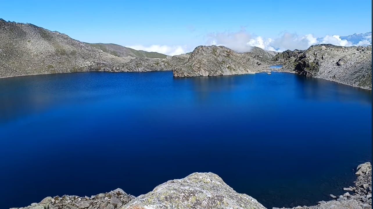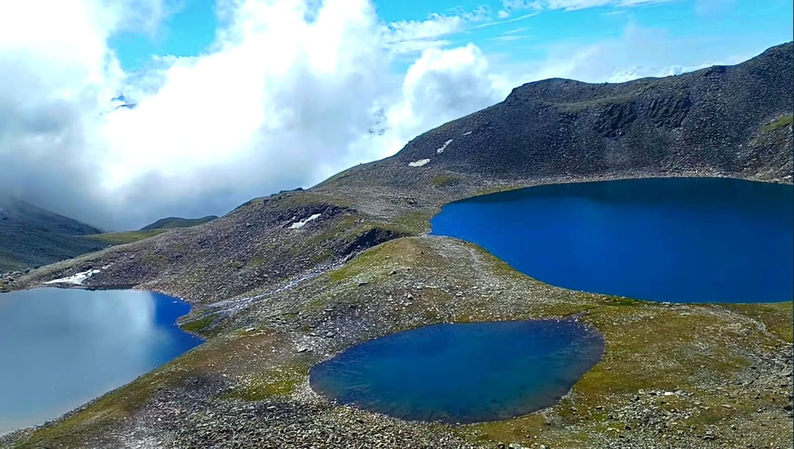
Suj Tilla, also referred to as Suitilla stands as a prominent Himalayan summit nestled on the eastern fringes of the Uttarakhand state within the Pithoragarh District of India. This majestic peak rises gracefully above the confluence point of the Kalabaland, Sankalp, and Yankchar glaciers. To the southern expanse of this peak, the Ralam Dhura pass extends, serving as a vital link between the Ralam valley and the Darma valley.
The defining features of this peak include its imposing ice-flutings and rugged ridges, a characteristic that has led to its nickname – the “Needle Peak.” The year 2001 marked a significant milestone as the peak was triumphantly scaled by a collaborative endeavor between British mountaineers Graham Little and Jim Lowther, alongside a dedicated team from the Indian Navy, under the guidance of Lt. Cdr. Satyabrata Dam. The summiting team comprised accomplished climbers like Divyesh Muni, Lt. Amit Pande, Sherpa Nima Dorje, Lt. K S Balaji, Lt. Amit Rajora, Chera Rajkumar, A. Chaudhury, Sherpa Tsange, Puri, and Nima Thondup. The path leading to the summit that has gained the most popularity is the route traversing the southwest face.
A short distance away, approximately 200 meters from Suj Tilla, lies Suj Tilla East (elevating to 6394 meters). This sibling peak, although alluring, remains untouched by climbers owing to the intricate presence of multiple cornices along its ridge line.
Sujtilla Heights : 6543 Mts (Longitude : 88: 26, Latitude: 30 :25)
Route : Munsyari-Ralam Risk Group : High Risk Group Route via NP/WS/RF/VP/PF : Van Panchayat Forest Expedition Check Post : Munsyari Enroute FD/DFO : Pithoragarh FD/DFO Pithoragarh Enroute FRH/TRH :
Munsyari Enroute Village : Munsyari to- 18 Km Lilam- Baton-Lingurani-35 Km Ralam-Sujitilla base- 13 Km